Blender for DEMs
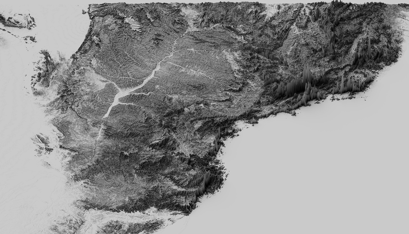
An angled view of southern Brazil, looking north, showing the SRTM elevation at 500m resolution.
After many years of fawning over other folks' jaw-dropping blender renders of elevation and other geographic data I finally got round to playing with Blender.