Indigenous resistance to colonisation impeded deforestation in the Southern Atlantic Forest for 300+ years

Freg J. Stokes & Barney Harris

  • Timóteo da Silva Verá Tupã Popyguá
  • Ará Rete (Sandra Benites)
  • COMPLEG team
  • and many more…

About the team

Our co-researchers
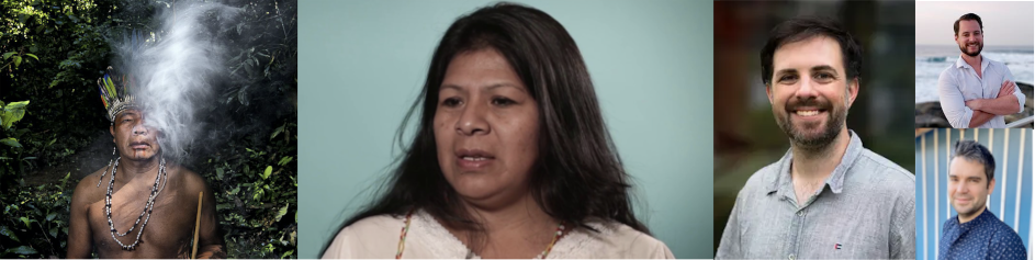
Guaraní co-researchers: Timóteo da Silva Verá Tupã Popyguá (Photo: Edu Simões) & Ará Rete (Sandra Benites); Freg Stokes, Phil Riris (PI), Patrick Roberts (Co-PI)

The Atlantic Forest

A biodiversity hotspot

  • ~20,000 species of plants
  • ~300 species of mammals
  • ~700 species of amphibians and reptiles

Indivisible from humans

  • “Nature is part of us” Karai Djekupe (Thiago), Guarani youth leader
  • Tekoa: the place where the Guaraní way of life is possible

A history of exploitation

  • Only ~10% of Atlantic Forest remains
  • Deforested by Spanish and Portuguese colonists (from 16th C. onwards)
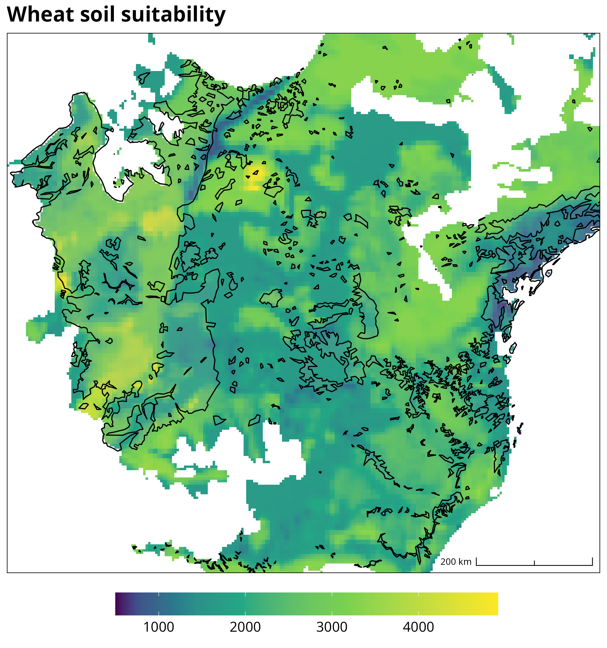
  • Coffee, cocoa, cattle, gold, silver, soy, wheat

Indigenous resistance

  • Key Indigenous figures led resistance against the Spanish, such as the Guaraní leader Ñezú (1628).
  • Major battles included Mbororé (1641)
  • Spatial distribution of resistance important
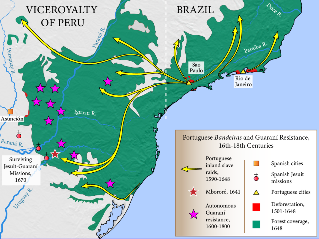
Question:

Can we model the relationship between Indigenous resistance and forest survival?

Geospatial modelling

Benefits of formal spatial modelling frameworks

  • Identify complex spatial relationships
  • Quantify the impact of resistance
  • Enable counterfactual simulations
  • Feed into policy in a way that qualititative history cannot

Data collection

Resistance events

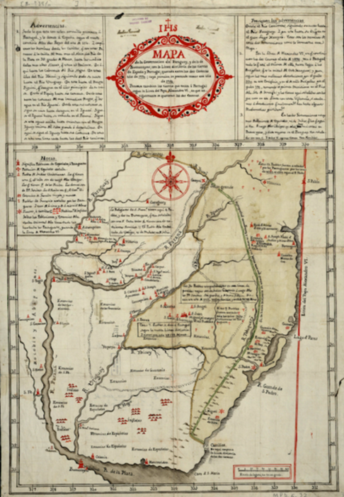
  • Archival visits
  • Collated data on Indigenous resistance events
  • Consultation with Indigenous communities
Data collection

Deforestation

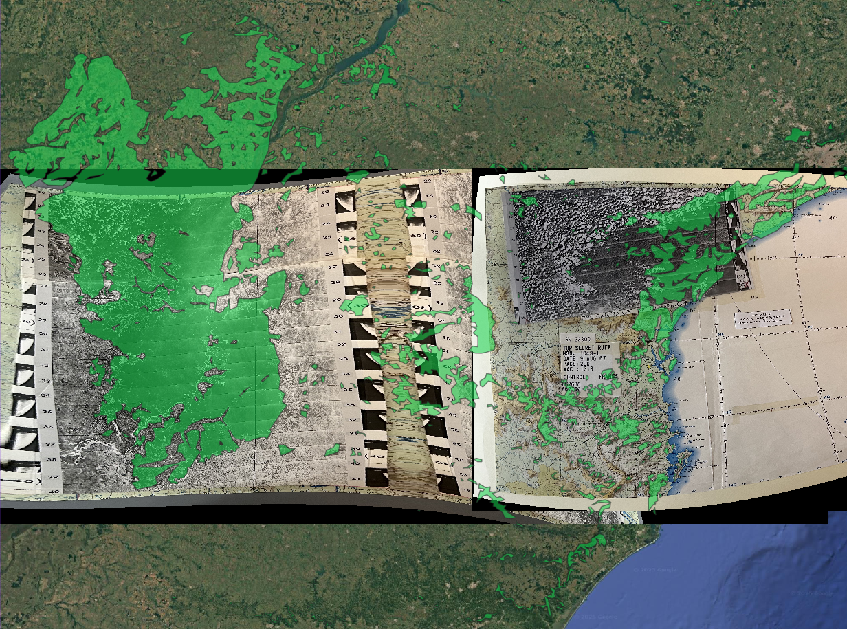
  • Declassified CIA satellite imagery
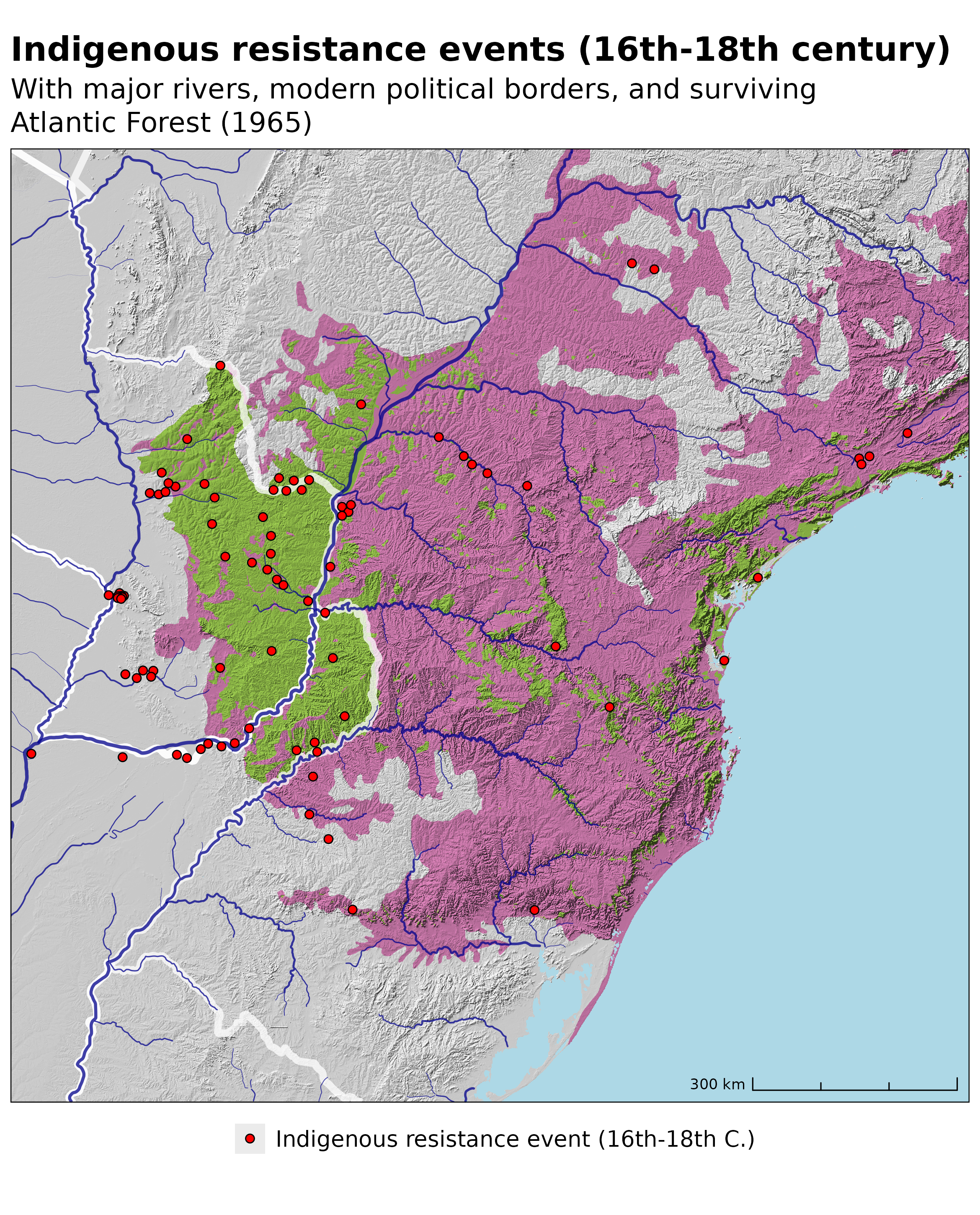
  • Digitisation of surviving forest (~1965)
  • Difference with RESOLVE Biomes data

Key datasets
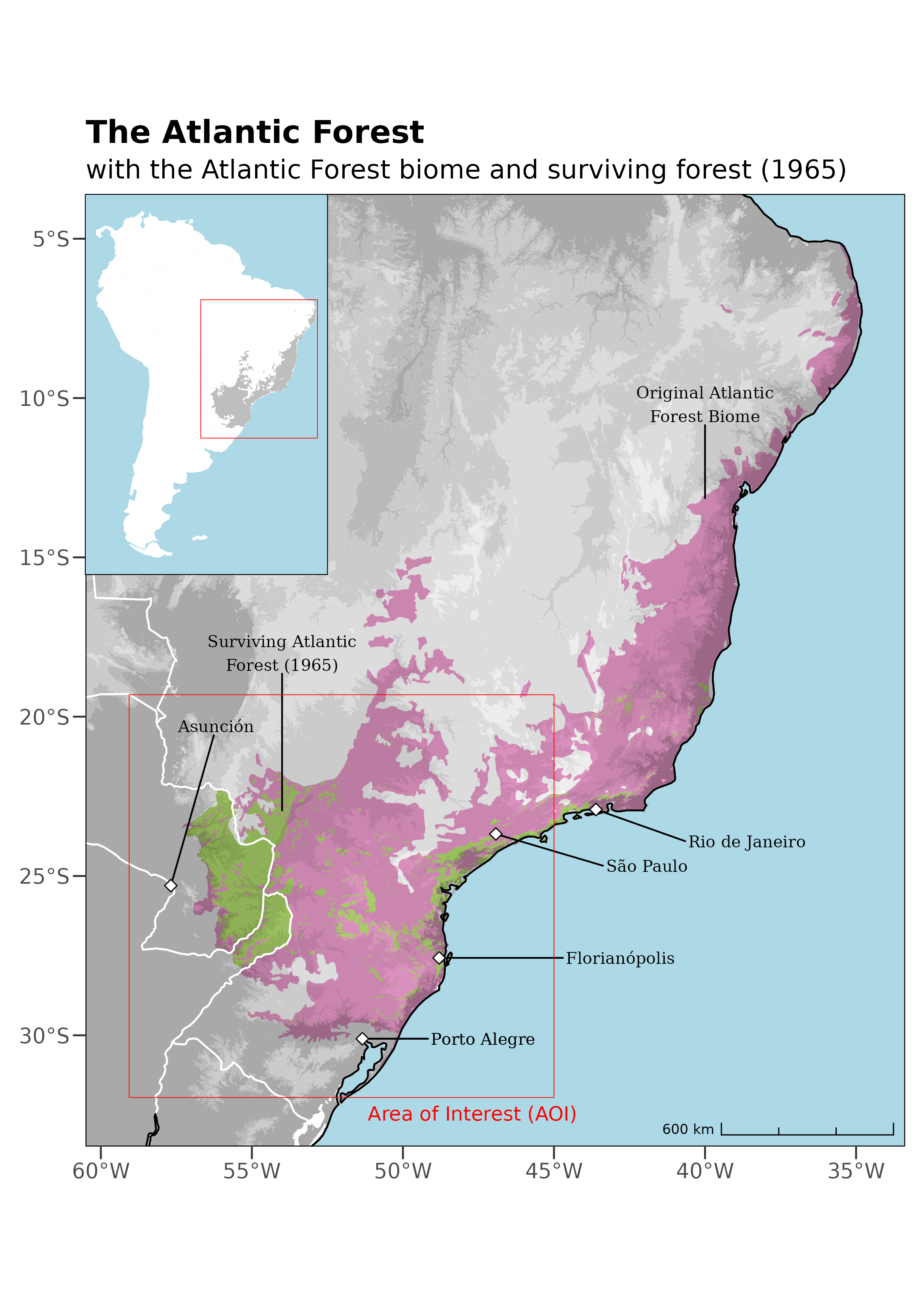
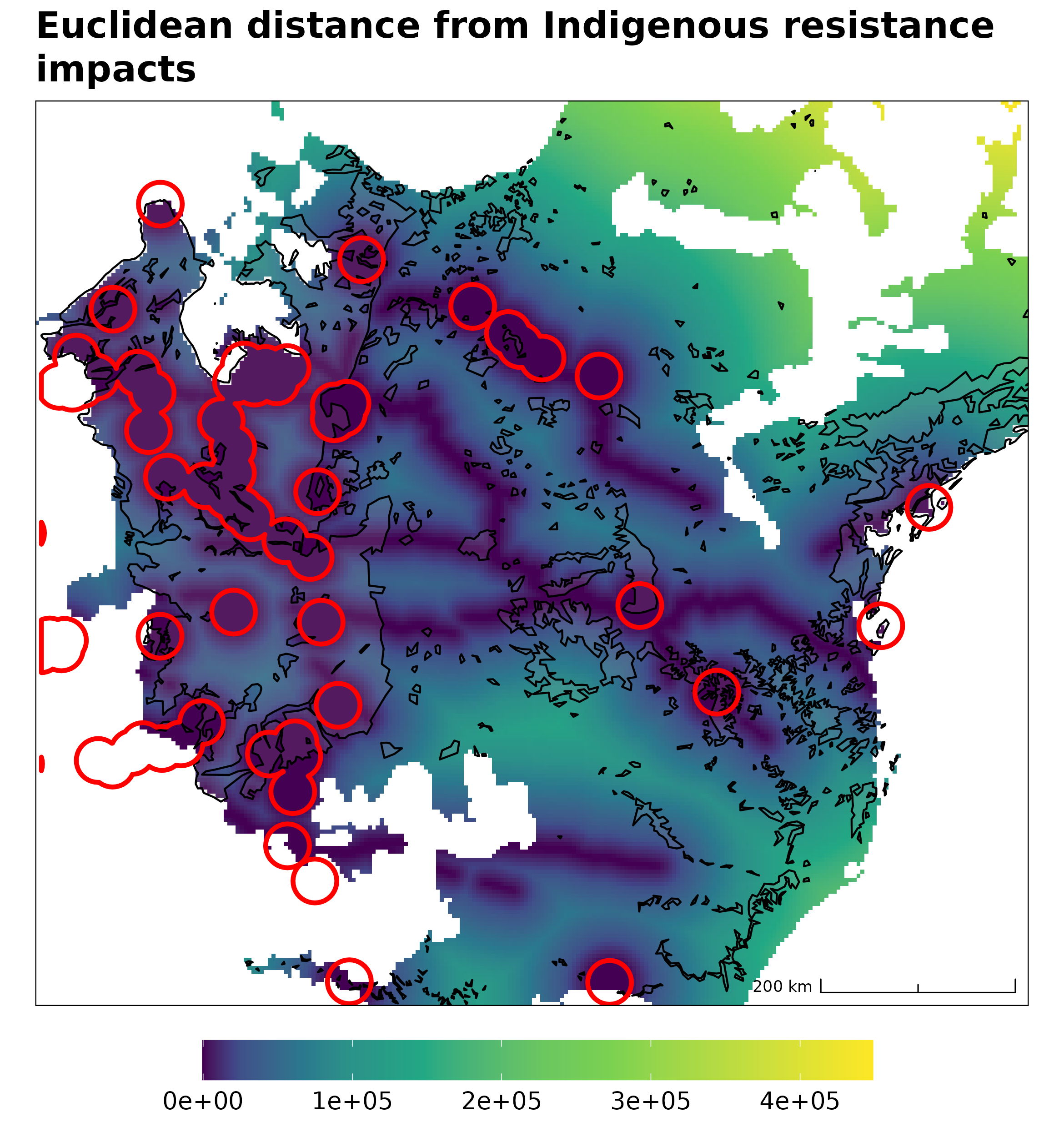
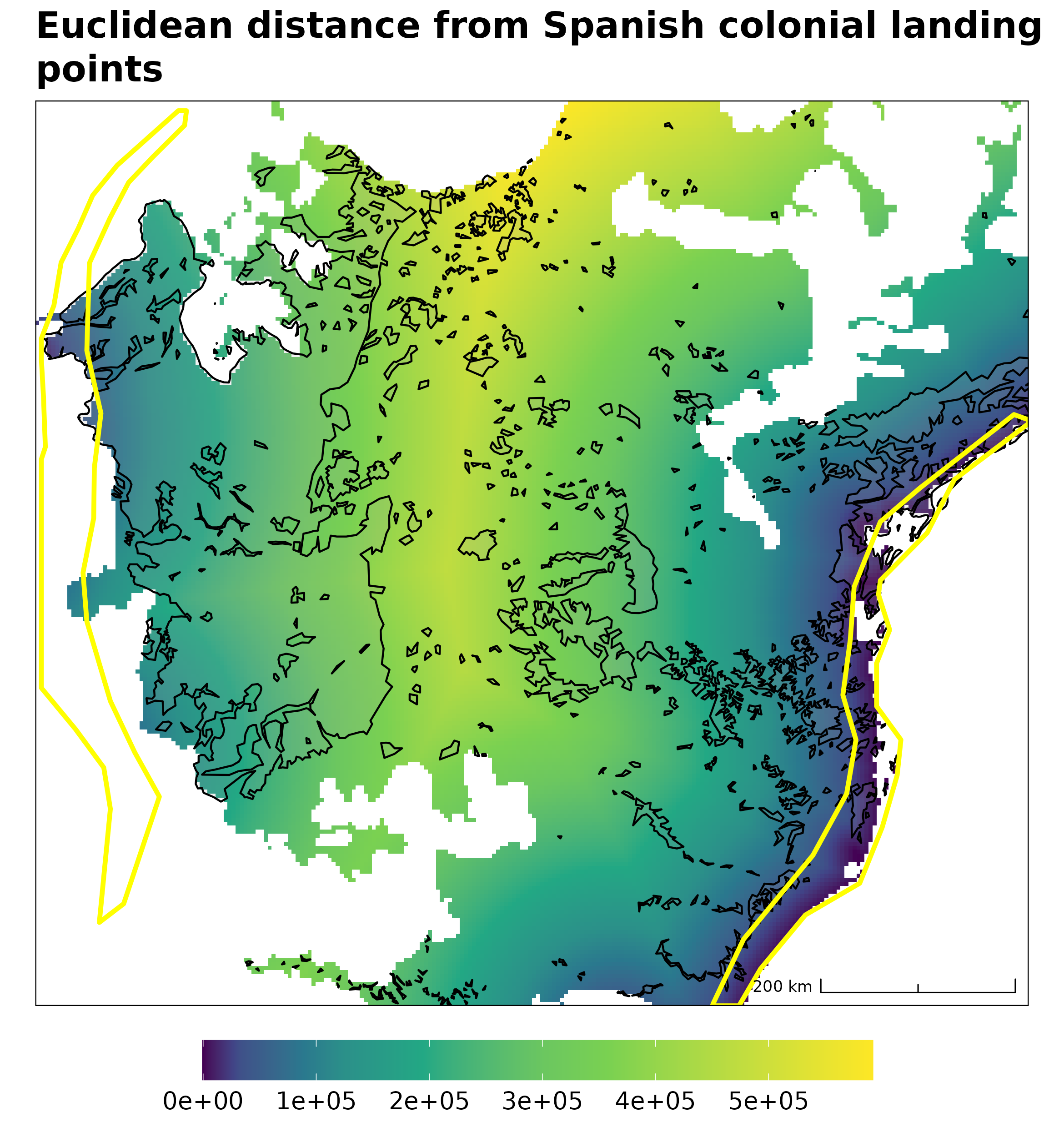
  • Binomial deforestation (response)
  • Indigenous resistance events (predictor)
  • Reasonable spatial correlation visible, however…

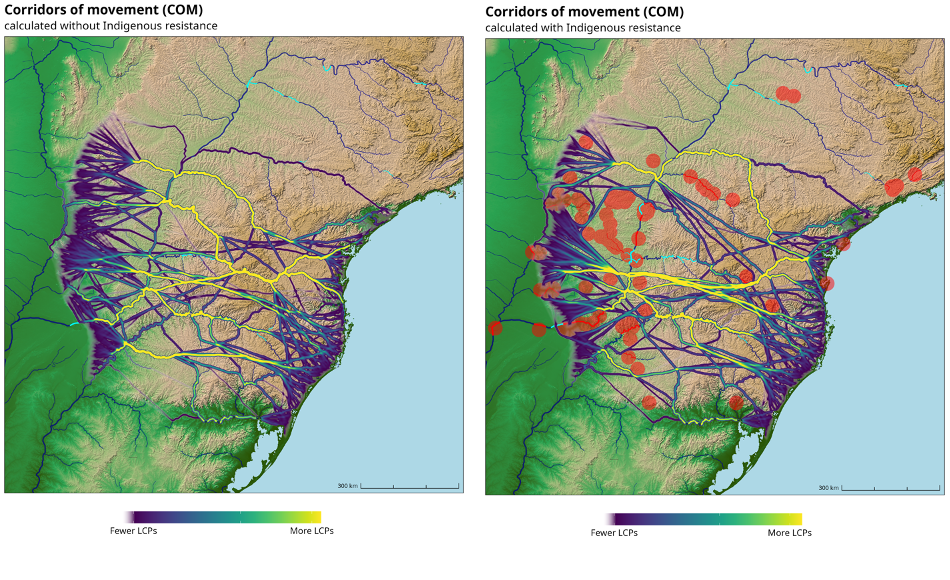
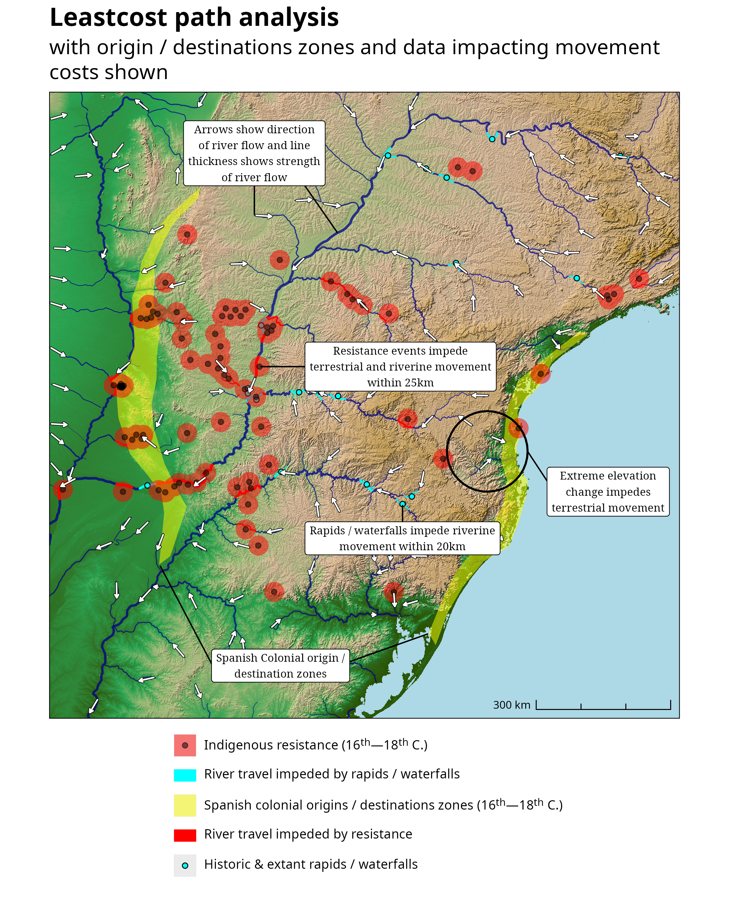
Least cost path analyses

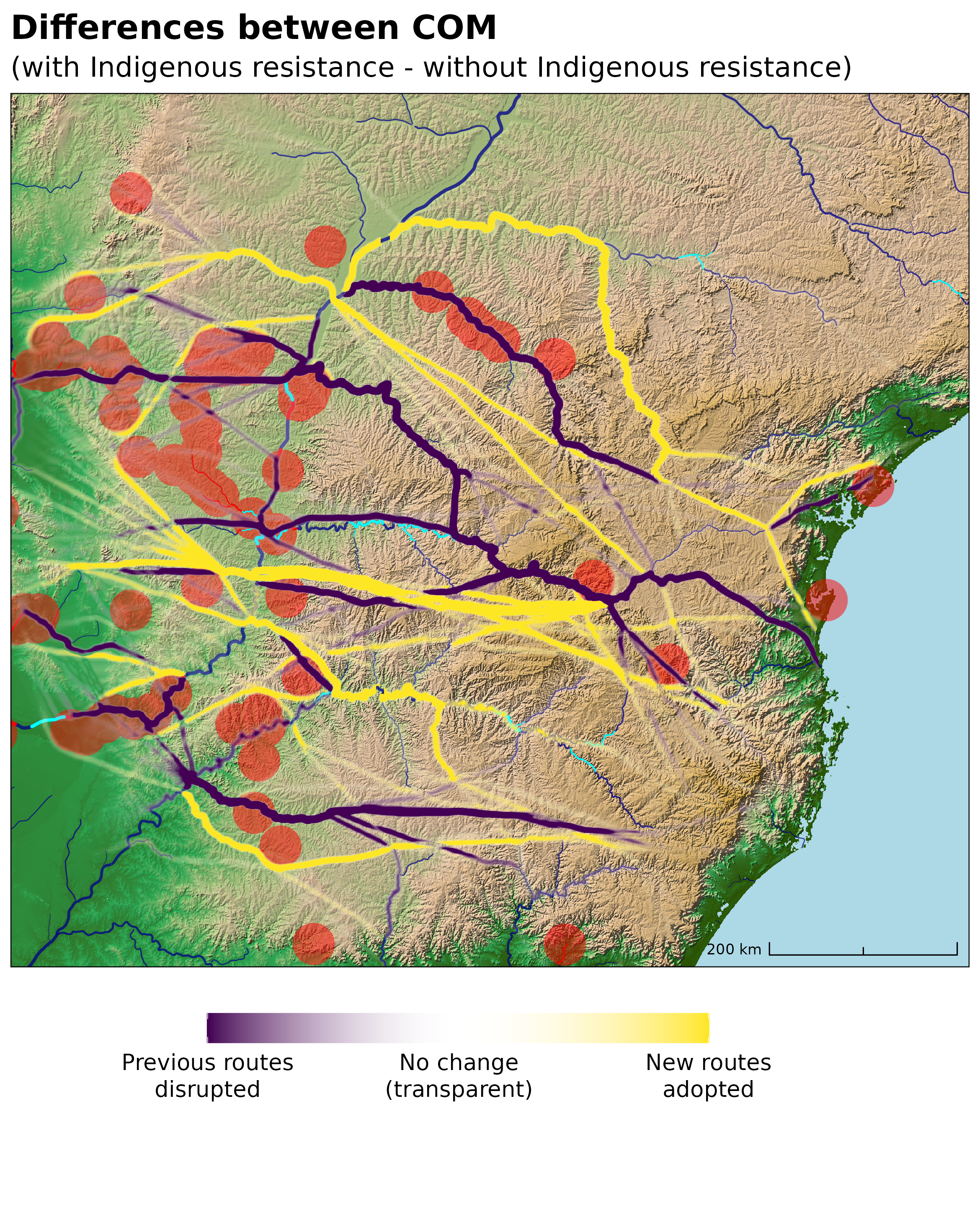
  • Colonisers needed routes through the Atlantic Forest
  • Mobility impacted by topography, river flow strength and direction + rapids
  • Spatial impact of resistance on colonial routes local and dispersed
Building the model

A reproducible approach using R

Modelling with R

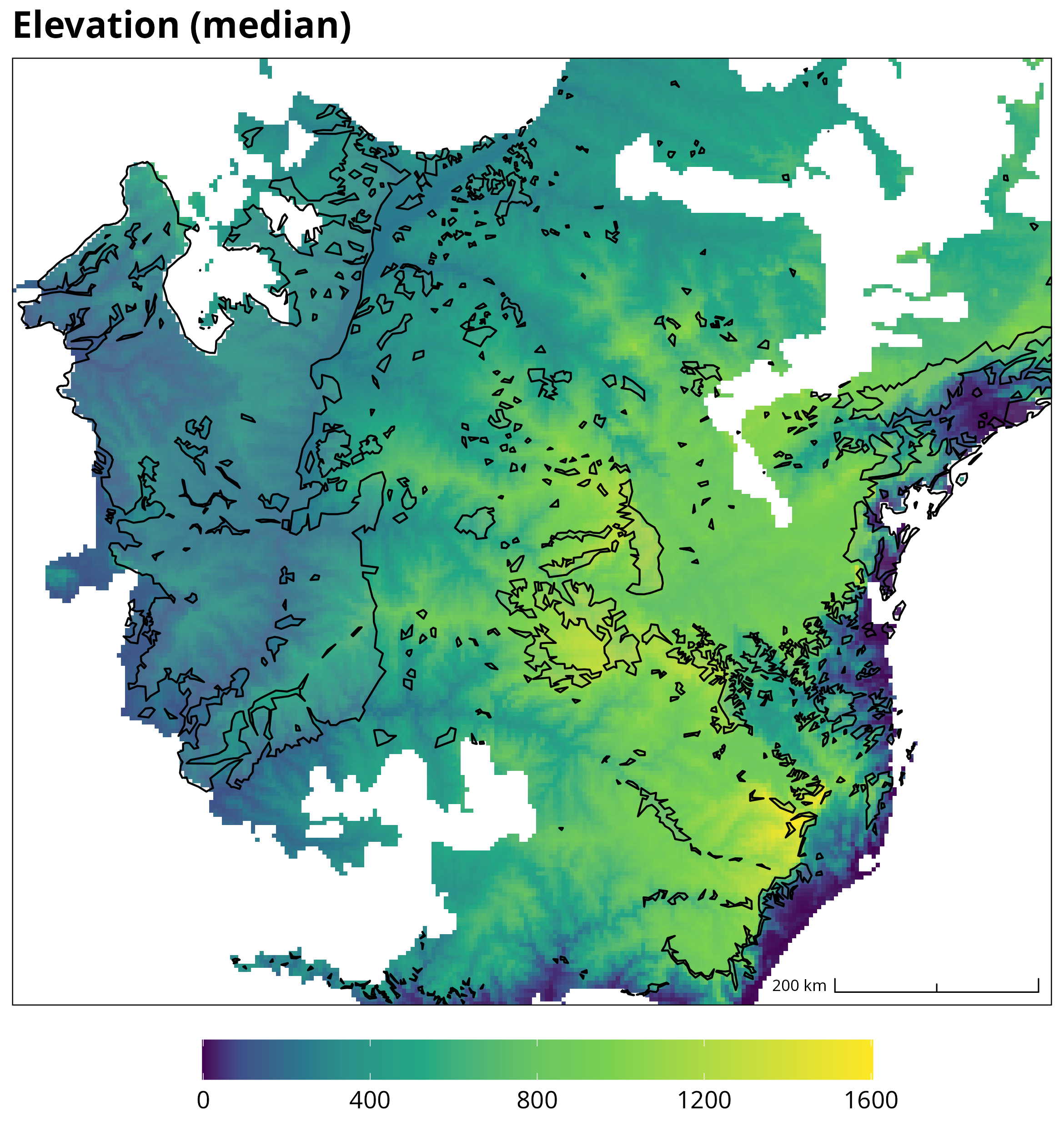
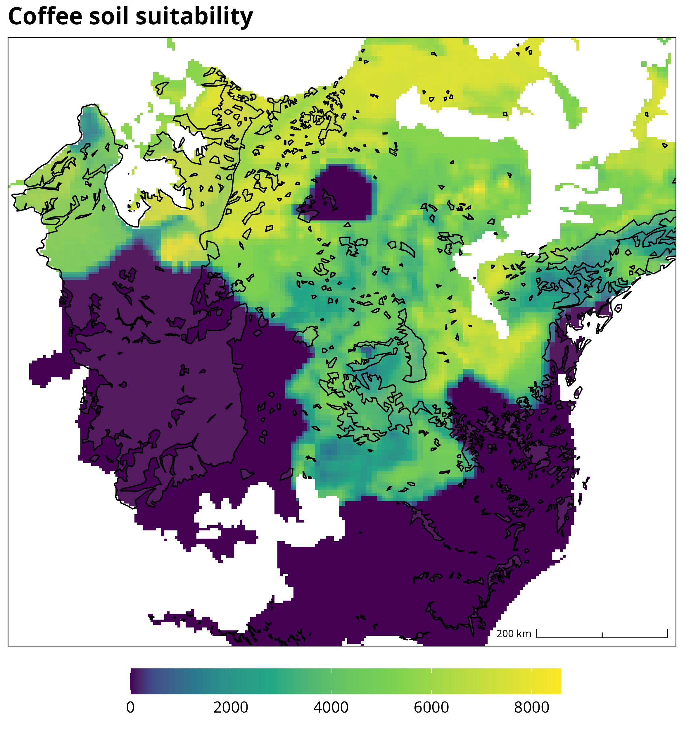
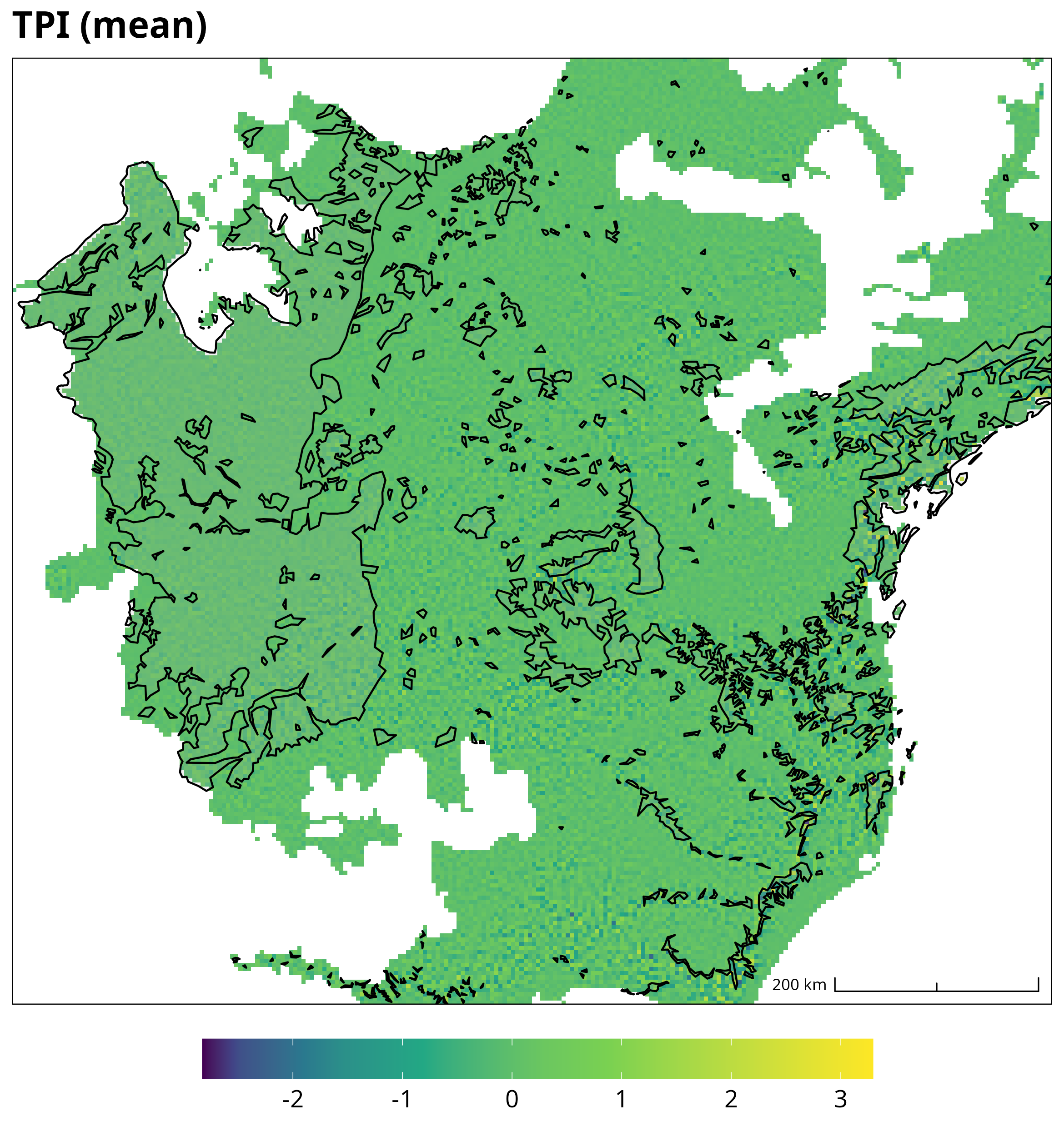
forest survival ~ indig. impact + envir + anthro

  • {targets} aids reproduciblity + HPC
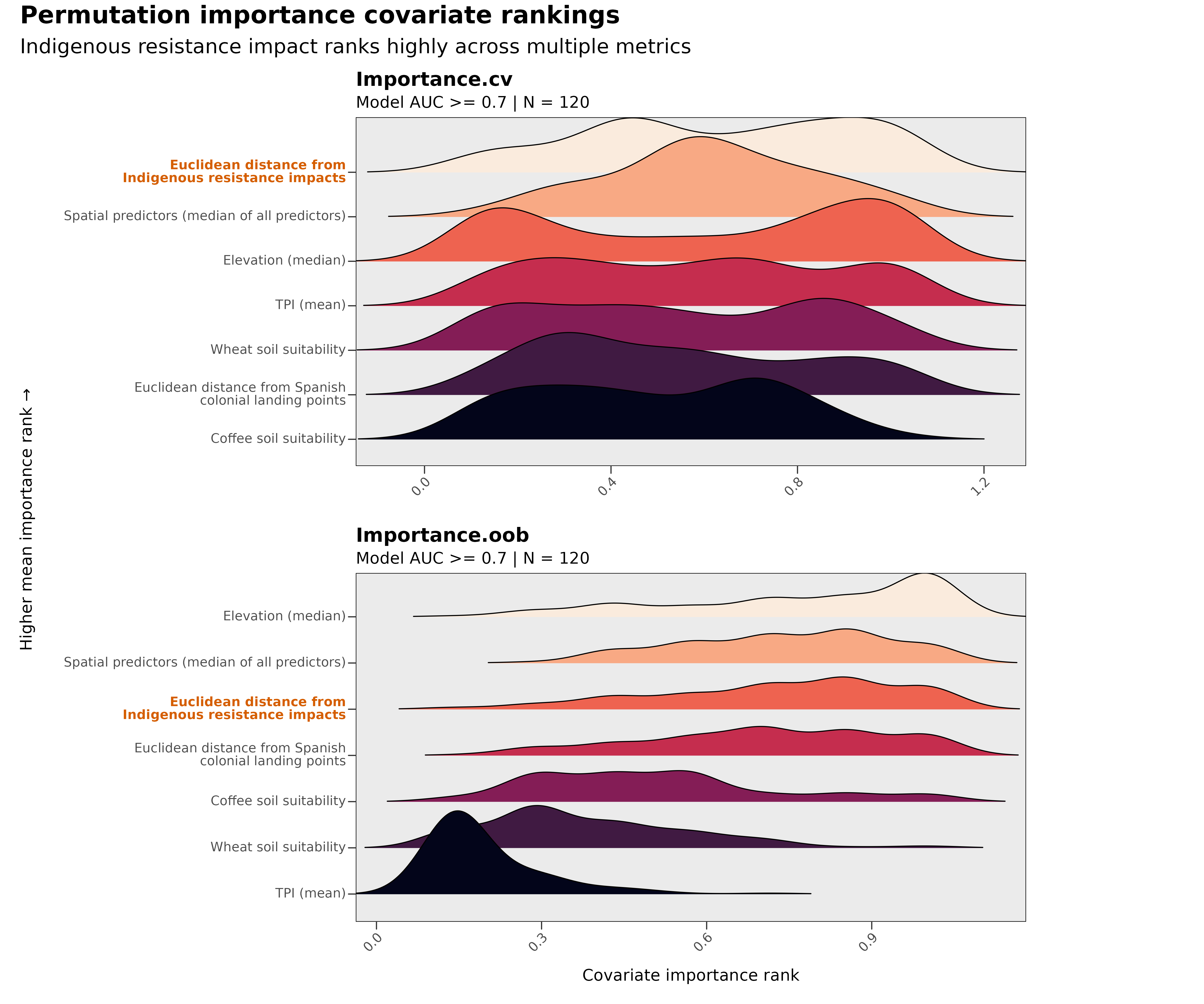
  • {spatialRF} explanatory spatial random forest models
    • Spatial predictors (MEMs) capture spatial structure within data
    • Built-in diagnostic tools and spatial cross-validation procedures

{tidyverse} + {terra} = (spatial) data wrangling and geoprocessing

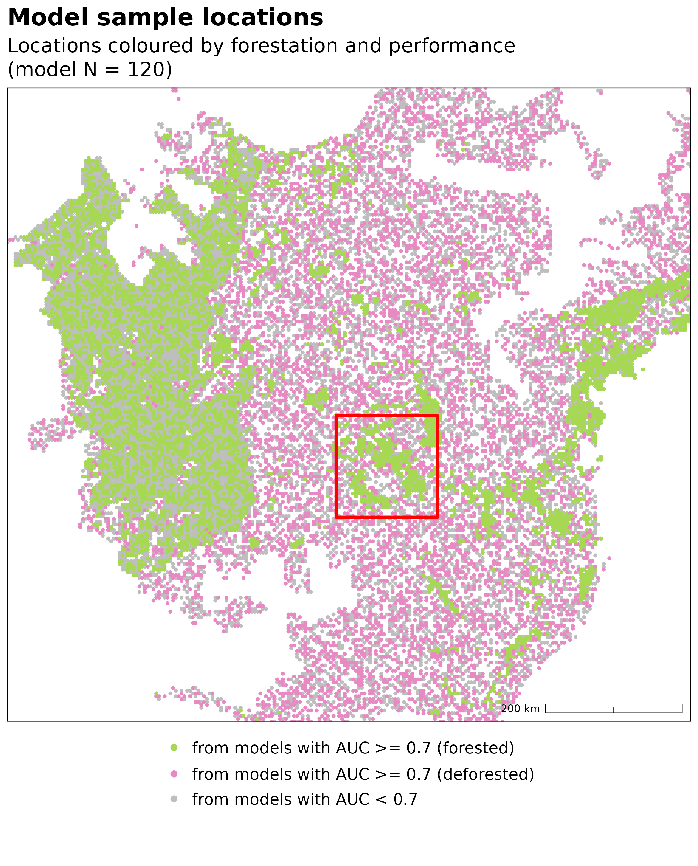
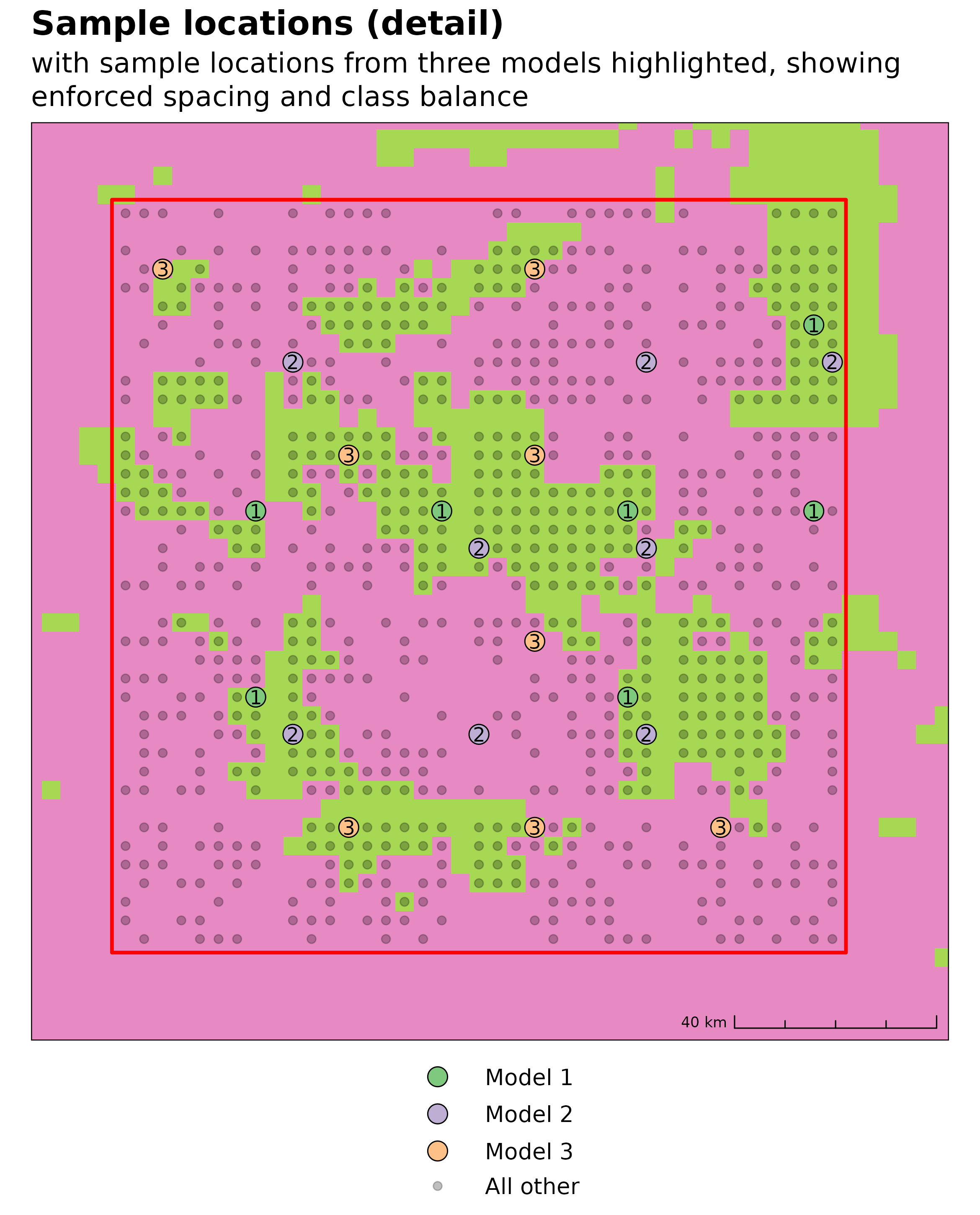
Sampling strategy

  • Forest survival is binomial (1/0 = survived/deforested)
    • Highly spatially contiguous
    • Highly spatially autocorrelated
    • Many observations (~35,000)
    • Difficult to model!
  • Bootstrap aggregation (bagging)
  • 242 individual spatial RF models
    • ~100–140 observations each
    • 40km resolution lattice used to enforce min. distance
    • Oversampling of small fragments = class balance & less sampling redundancy

Results

  • Mixed in terms of AUCROC (< 0.7)
  • Some model have spatially correlated residuals (Moran’s I <= 0.05)
  • Caution when interpreting results

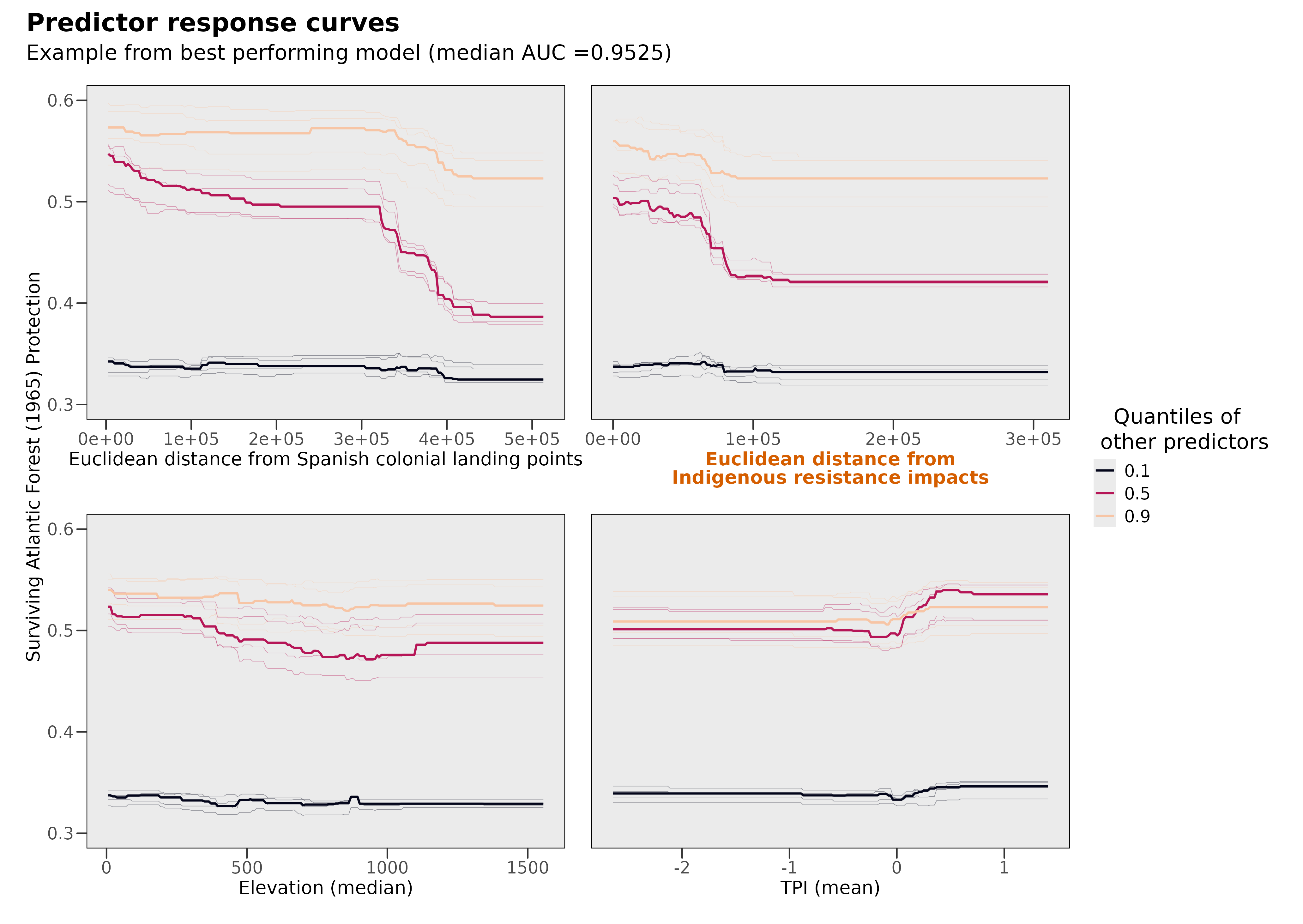
Predictions

  • Closer to Indigenous resistance => higher chance of forest survival
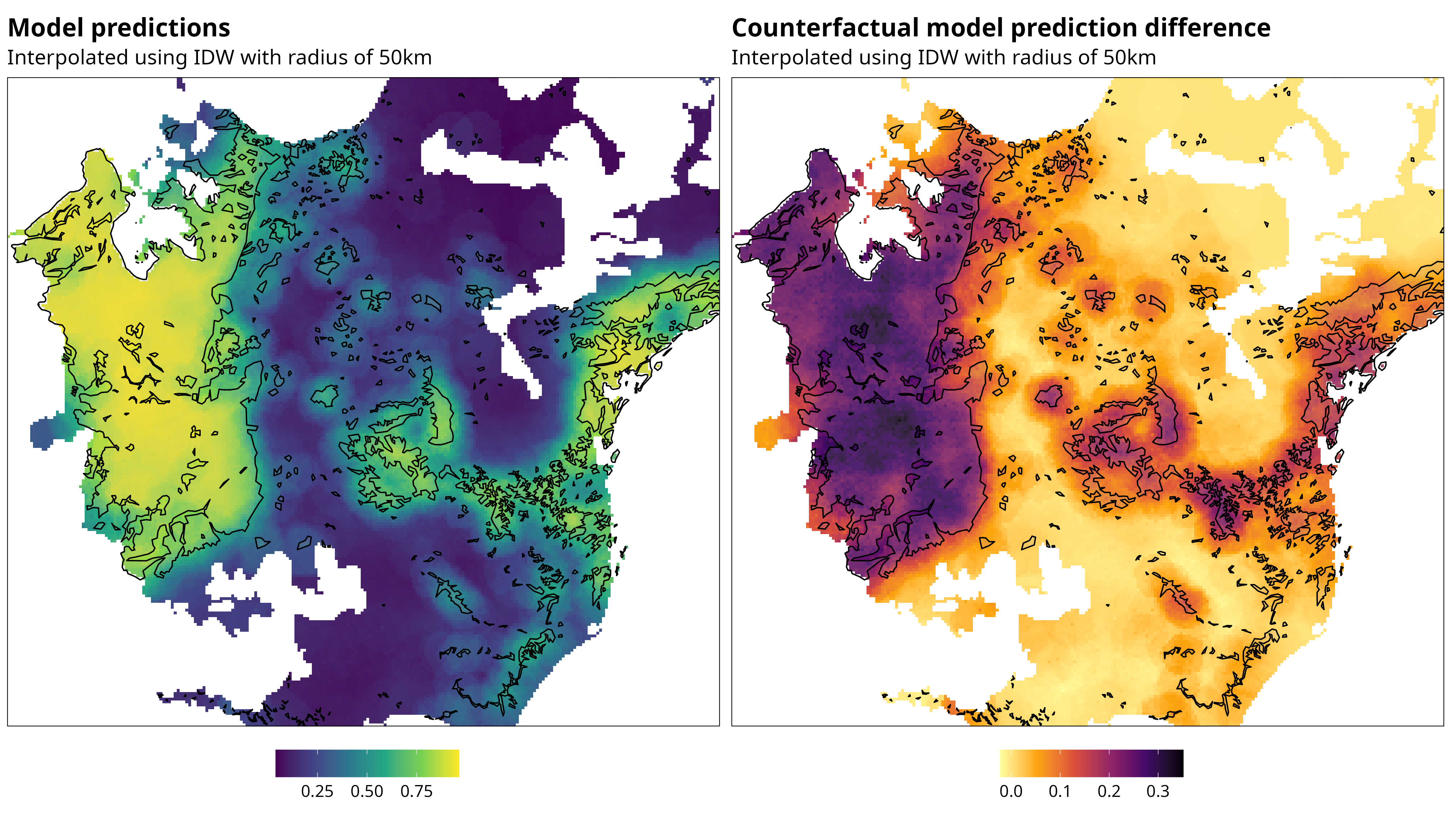
Simulation

  • Counterfactual scenario with no Indigenous resistance
  • 20–22% increase in deforestation (minimum)
Concluding thoughts

  • Ultimately the Atlantic Forest was heavily deforested…
  • however, a similar story continues to play out in the Amazon today…
  • Freg will share our research with Guarani communities in Misiones, Argentina
  • … and work with Brazilian Guaraní researcher Ivanilde Kerexu to assess how research might help support future forest conservations strategy

Thank you

  • bharris@bournemouth.ac.uk
  • @barneyharris@sciences.social
  • Barney Harris
  • Built by a human using revealjs & quarto

  • Quarto theme by Emil Hvitfeldt